Best Sedona Helicopter Tours — Quick Picks
Which Sedona Helicopter Tour Is Right for You?
| Role | Distance | Reaches | Best for | Rating | From | |
|---|---|---|---|---|---|---|
| Most booked | 20+ miles | The famous formations | Cathedral Rock and Bell Rock | 5.0★ | $197 | Check → |
| Mid-length | 30+ miles | Canyons north of town | More country, same red rock | 5.0★ | $325 | Check → |
| Wilderness | 45+ miles | Roadless canyon country | Ground no trail reaches in a day | 4.9★ | $465 | Check → |
| Longest | 80+ miles | The Mogollon Rim | Red rock and plateau in one flight | 5.0★ | $756 | Check → |
Compare Helicopter Tours in Sedona
Prices, ratings and availability last checked: September 2026.
 Top Pickfrom $197
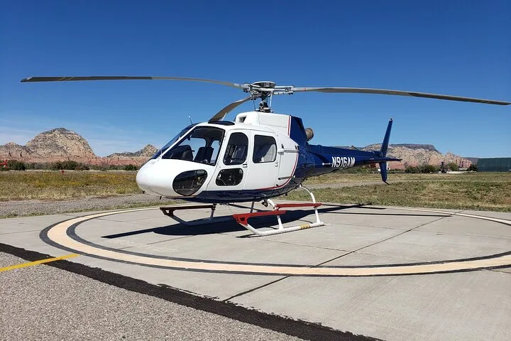
 Everything Sedona (20+ Mile) - Sedona Helicopter Tour
- Flight areaRed-rock formations around town, 20+ miles
- MachineShared cabin
- Best forThe most-booked flight here
- Headsets with pilot commentary provided
- Cancellation terms are shown on the operator's booking page
 from $325
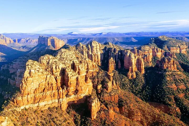
 Ancient Sedona (30+ Mile) - Sedona Helicopter Tour
- Flight areaCanyons north and east of town, 30+ miles
- MachineShared cabin
- Best forMore country than the short route
- Headsets with pilot commentary provided
- Cancellation terms are shown on the operator's booking page
 from $465
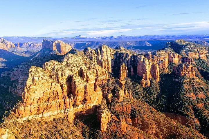
 Secret Wilderness (45+ Mile) - Sedona Helicopter Tour
- Flight areaRoadless wilderness canyons, 45+ miles
- MachineShared cabin
- Best forGround no trail reaches in a day
- Headsets with pilot commentary provided
- Cancellation terms are shown on the operator's booking page
 from $756
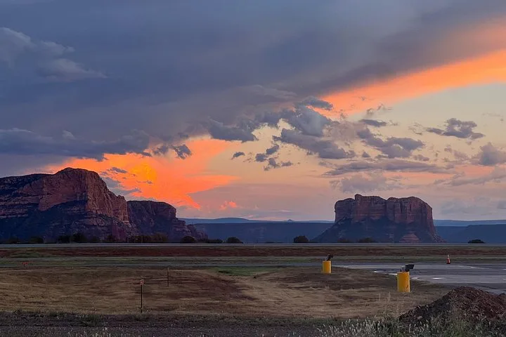
 Mogollon Rim (80+ Mile) - Sedona Helicopter Tour
- Flight areaOver the Mogollon Rim, 80+ miles
- MachineShared cabin
- Best forRed rock and plateau in one flight
- Headsets with pilot commentary provided
- Cancellation terms are shown on the operator's booking page
How Much Does a Sedona Helicopter Tour Cost?
Roughly ten dollars a mile, consistently, across four route lengths. That makes Sedona one of the easiest markets in this guide to compare — the question is simply how far into the back country you want to go.
Twenty-plus miles over the formations around town: Cathedral Rock, Bell Rock, Courthouse Butte and the Chapel of the Holy Cross.
- Everything Sedona (20+ Mile) · $197
Thirty to forty-five miles reaching the canyons north and east of town, including country with no road access.
- Ancient Sedona (30+ Mile) · $325
- Secret Wilderness (45+ Mile) · $465
Eighty-plus miles over the Mogollon Rim, the escarpment that separates the red rock from the high pine country of the Colorado Plateau.
- Mogollon Rim (80+ Mile) · $756
What affects the price?
Sedona quotes miles because the terrain varies more than the clock does. Roughly, twenty miles is fifteen minutes and eighty is an hour.
The short route parallels country you can drive to. The long ones reach canyons and rim country that would take days on foot.
Red rock photographs best in the first and last hours of the day. Midday sun flattens the colour that makes Sedona what it is.
Year-round. Summer afternoons bring monsoon storms from July to September; winter is cold, clear and quiet with occasional snow on the rocks.
20, 30, 45 or 80 Miles: How Far Should You Fly in Sedona?
One operator, four route lengths, and pricing that works out at about ten dollars a mile. Figures below come from the flights on this page.
| 20+ miles | 30+ miles | 45+ miles | 80+ miles | ||
|---|---|---|---|---|---|
| Typical fare | $197 | $325 | $465 | $756 | |
| Roughly how long | About 15 minutes | 20 – 25 minutes | 30 – 40 minutes | About an hour | |
| Famous formations | Yes | Yes | Yes | Yes | |
| Roadless country | Barely | Some | Yes | Yes, plus the rim | |
| Best for | A first flight | More canyon country | Wilderness with no trails | Red rock and plateau together |
Month-by-Month Guide
Cold and clear, with occasional snow on the red rock.
Crisp air and low sun — excellent for photography.
Mild, clear and busy as spring visitors arrive.
Ideal conditions and long light.
Warm, dry and reliably flyable.
Hot afternoons; morning flights are the smoothest.
Monsoon storms build in the afternoon and cancel late slots.
Peak monsoon; morning departures are the reliable ones.
Storms fading and the air steadying.
The best month here — clear, mild and warm-lit.
Low sun, cool air and thinning crowds.
Cold, clear and quiet, with short days.
What to Expect on the Day
Check in at the airport
Flights leave from Sedona airport on the mesa above town, ten minutes from the main street.
The airport mesa is itself a viewpoint — arrive early and look before you fly.Weigh-in and seating
Passengers weighed for the load sheet and seats assigned.
Ask which side the formations pass on; on the short route it matters.Safety briefing
Standard briefing and headsets with commentary naming the formations.
The commentary is worth having — the rock names come fast and the geology is genuinely interesting.The flight
Out over the town and the red-rock formations, up the canyons, and on longer routes over the rim into pine country.
Morning and late afternoon light are what make the rock red; midday washes it out.Back on the mesa
Fifteen minutes to an hour depending on the route, with the whole booking under two hours.
Pair the flight with a ground viewpoint at the opposite end of the day for the full contrast.What to Bring (and What to Leave at Home)
✓ Bring
- Dark clothing to keep reflections out of the window
- Sunglasses; the light off pale rock is strong
- A warm layer in winter — the mesa is exposed
- Your booking voucher and photo ID
- A camera with a strap
✗ Leave behind
- Loose hats and scarves near the aircraft
- White or pale tops that mirror in the glass
- Large bags — cabin storage is minimal
- Drones, restricted across the national forest
- Selfie sticks, banned in the cabin
Where Flights Depart From
| Heliport / Base | Details | Best for |
|---|---|---|
| Sedona airport, on the mesa | All flights on this page | Everyone; ten minutes from uptown |
How to Choose a Helicopter Operator
What good operators do
- Quote route distance and what it reaches rather than a vague 'scenic tour'.
- Provide headsets with commentary that names the formations.
- Fly early and late when the light is worth having.
- Publish the second-seat weight threshold.
- Refund weather cancellations in full during monsoon season.
Red flags to avoid
- Wilderness photography on a twenty-mile fare that stays over town.
- No stated distance or duration.
- Midday-only availability in a landscape that depends on low light.
- Photo packages presented as compulsory.
What You Fly Over in Sedona
The landmarks and flight corridors these tours actually cross, and what each one looks like from the air.
Cathedral Rock and Bell Rock
Every routeThe two most photographed formations in Arizona, both inside the shortest circuit.
Boynton and Secret canyons
30+ mile routesThe canyon system north of town, where the red rock cuts back into the plateau.
Wilderness country
45+ mile routeRoadless canyons and mesas that would take days to reach on foot, with no trailhead nearby.
The Mogollon Rim
Longest flightThe 600-metre escarpment separating the red-rock desert from the high ponderosa forest of the Colorado Plateau.
FAQ: Helicopter Tours in Sedona
More Helicopter Tours in Southwest USA
Browse all the best helicopter tours worldwide, from the Grand Canyon to the Southern Alps.
Ready to fly in Sedona?
4+ flights compared · rated operators only · instant confirmation